The Commercial Use of Drones in Real Estate
Introduction
Drones, also known as unmanned aerial vehicles (UAVs), have revolutionized various industries, including real estate. These aircraft operate without a human pilot on board and are part of an unmanned aircraft system, including a ground-based controller and a communication system.
Initially known for their military applications, such as espionage during the US-Iraq tensions, drones have now become indispensable tools for businesses and individuals alike. Today, they are transforming industries like photography, entertainment, and most notably, real estate. Let’s explore how drones are making waves in the real estate sector.
Applications of Drones in Real Estate
1. Monitoring Properties
Safeguarding real estate assets can be challenging. Drones provide an effective solution for:
- Monitoring properties for illegal settlements, theft, or unauthorized activities.
- Documenting properties through photo and video surveillance for security purposes.
- Tracking the progress of construction projects, ensuring materials and sites are secure.
Drones are invaluable tools for maintaining oversight and enhancing property security.
2. Offering a Bird’s Eye View
Drones enable real estate professionals and buyers to access high-quality aerial images and videos.
- For Consumers: A comprehensive view of the property and its surroundings aids informed decision-making.
- For Dealers: Highlighting the property’s unique features and location advantages becomes easier.
A bird’s eye view adds an unmatched perspective that traditional photography cannot achieve.
3. Enhancing Digital Marketing
Drone imagery can capture angles and perspectives that traditional methods often miss.
- Stunning aerial shots and 360-degree views create engaging marketing content.
- Strategically using drone footage helps showcase properties and upcoming developments effectively.
This visual content drives more interest and engagement in property listings.
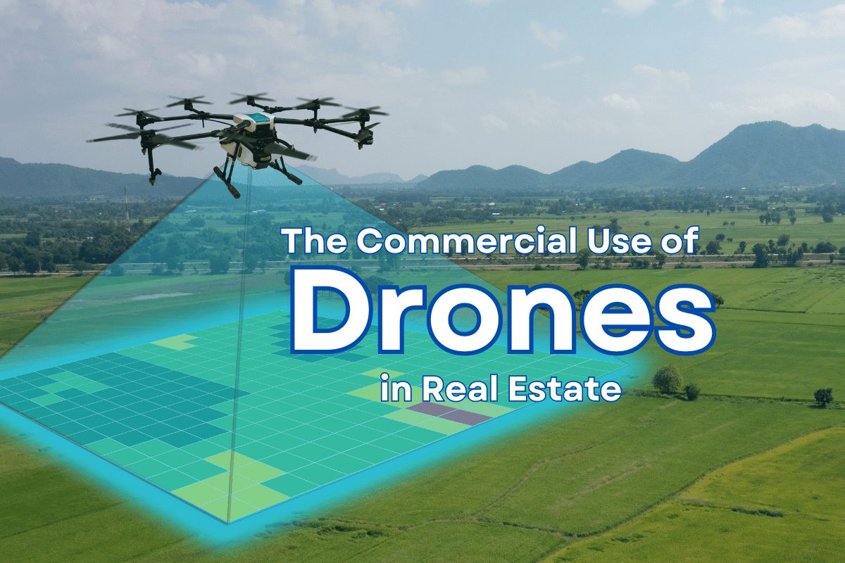
4. Facilitating Land Mapping
For construction teams, drones are a game-changer in land mapping.
- They efficiently map layouts, terrain nature, and dimensions.
- Unlike manual mapping by civil engineers, drones provide higher accuracy, eliminating human errors.
- This data helps in designing blueprints and assessing land compatibility for construction.
Drones save time, reduce costs, and ensure precision in planning.
Ethical Considerations for Drone Use
While drones offer numerous benefits, their use comes with responsibilities:
- Licensing: Businesses must acquire proper licenses to operate drones commercially.
- Privacy: Ethical practices should be followed to avoid privacy infringements.
- Public Perception: Misuse of drones can create distrust, making it crucial to maintain transparency and respect boundaries.
When deployed responsibly, drones can enhance operations while building trust with stakeholders.
Conclusion
Drones are reshaping the real estate industry by offering innovative solutions in monitoring, marketing, and mapping. Their ability to provide unique perspectives, streamline processes, and enhance security makes them indispensable tools for modern real estate operations. However, their use must be coupled with ethical considerations to ensure they remain a positive force in the industry.